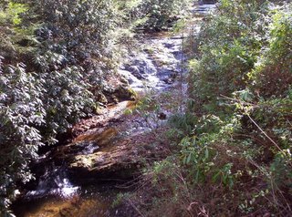
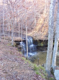
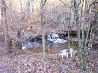
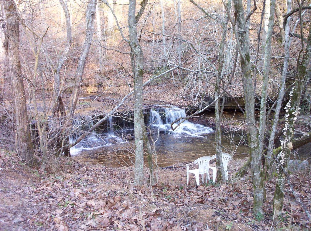
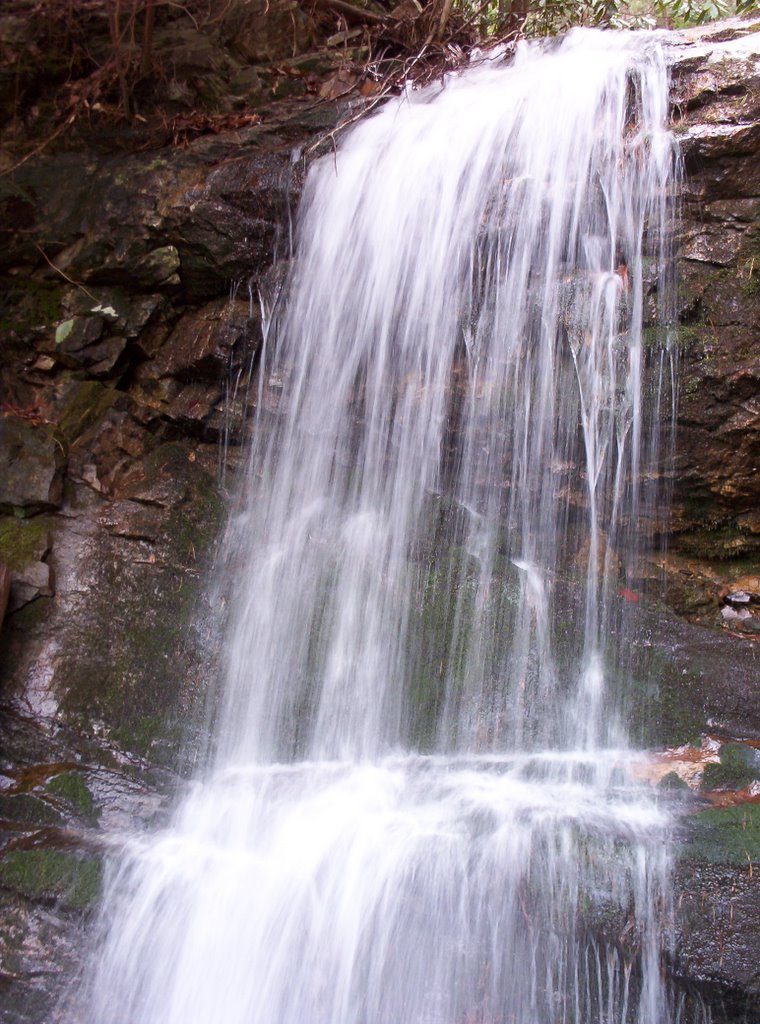
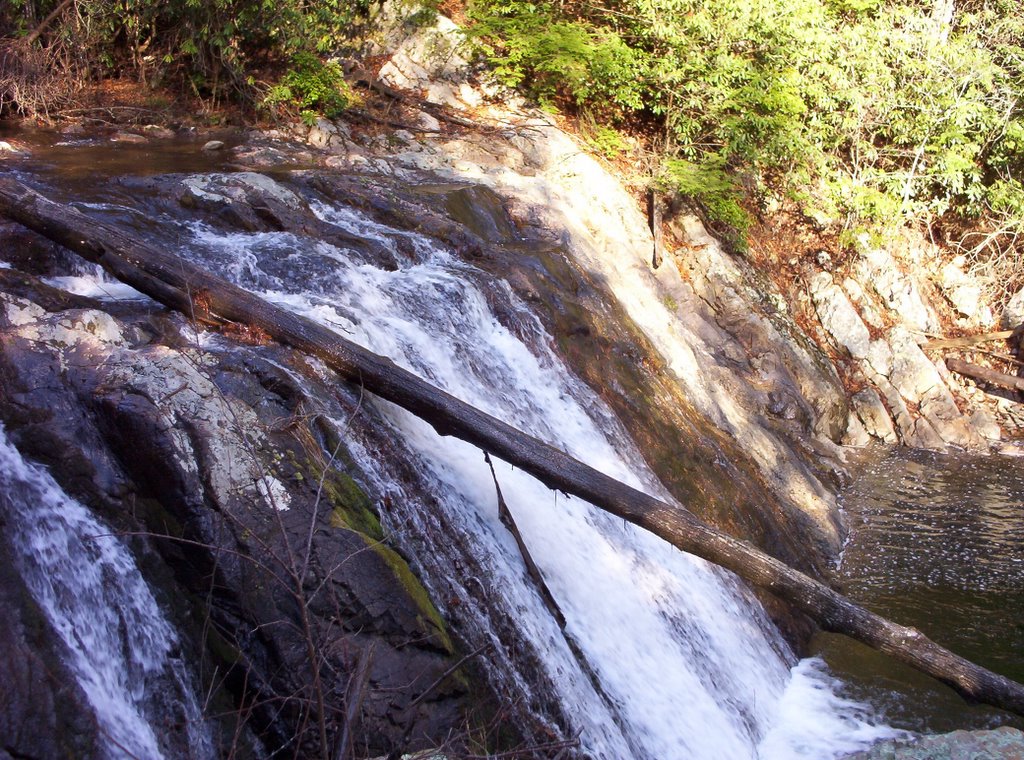
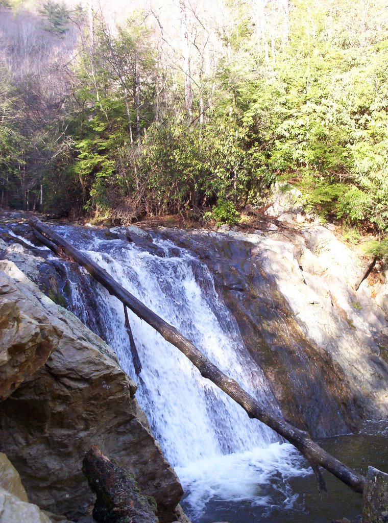
Northeast Tennessee Waterfalls

A blog dedicated to Tennessee waterfalls in the Mountain Empire. There will be a few from Virginia & North Carolina too.

Saturday, December 31, 2005

Old Falls

Ok, so this one is not in Northeast Tennessee, but I had time to kill over the holidays (we were in Franklin, Tenn.) and visited the closest waterfall I could find. Old Falls, is about 20 minutes off of the Natchez Trace Parkway. As you can see, a house was built in the middle of the site.


Directions are coming soon.

Wednesday, December 21, 2005

Waterfall Tours?

I have made this blog so that the public can go and visit waterfalls for free. There have been a few people who have expressed interest in guided tours. If others are interested please contact me by e-mail or by leaving a comment. I am trying to determine what the level of interest is. I couldn't do it for free because of gas costs. And, if a lot of people were interested I would have even more costs because of rules for bringing people to national forests for a fee, i.e. cpr training costs, national forest licences and insurance. But I would love to help others experience the beauty of this region.

Saturday, December 17, 2005

Pine Ridge Falls

This appears to be Pine Ridge Falls, not 
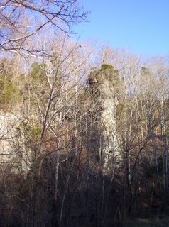
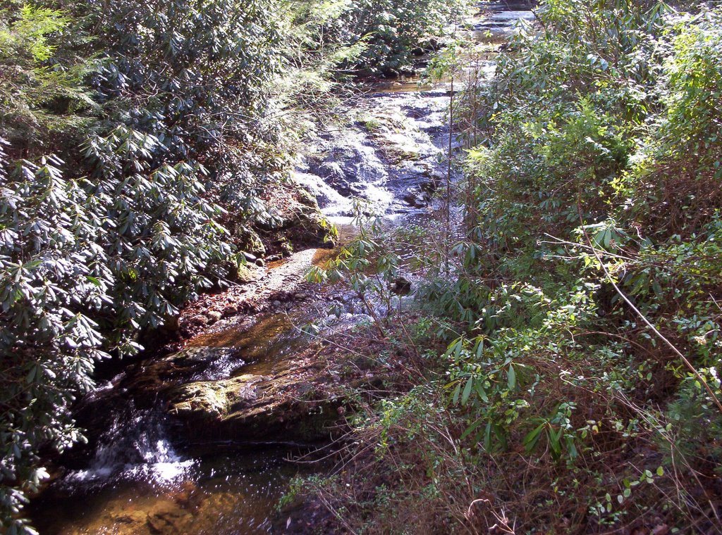
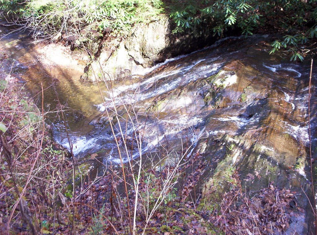
Sill Branch Falls, like I first thought. Both are in Unicoi County, but are very close to Washington & Greene Counties. There are also some nice cataracts to see on the way. These falls can be found down a gravel road and then a short 1/2 mile hike.

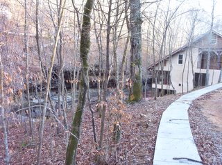
Directions: Drive to Clarks Creek Road from state road 107, located 4.9 miles west of state road 81, going toward Greeneville. Clarks Creek Road is also 15 miles east of U.S. 321, coming from Greeneville. Drive 1.5 miles south on Clarks Creek Road. The road turns to gravel and you will drive another 1.6 miles. Here the road crosses the creek a third time and then, after another 0.4 miles, a large unsigned turnout serves as the parking area for the trail.

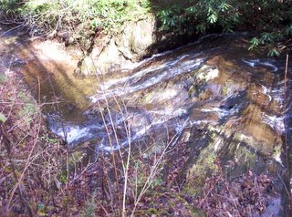
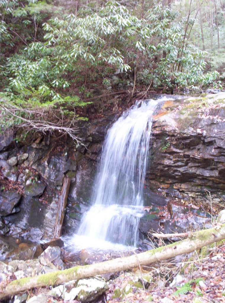
The trail is a little rocky, but bear left at all junctions. After 0.4 miles you will cross the south fork of Sill Branch and then hike another 0.1 miles to the end of the path at the falls. If you get confused the falls are fairly loud. A few cataracts are loud, but don't mistake them for Sill Branch Falls.


Kelley Falls in Greene County


Here's some photos of Kelley Falls in Greene County. Dudley Falls is just two miles down the road. The great thing about these two falls is that a paved road takes you right to both. However, in December 2005 the road was closed to cars for renovation. You can still walk though and I'm sure it will be done soon. Also, this area is great for trout fishing, especially for fly fishing.

Directions: Drive 3.4 miles east of state road 70 on state road 107 to Rollings Chapel Road, the way to Paint Creek Camp. (107 disappears for like 15 miles and then reappears. If you are coming from Washington County & state road 81, then take state road 351 south instead of driving 107 all the way into Greeneville. 351 south will take you the 15 miles or so back to 107.) Drive 0.4 miles, then turn right on Lower Paint Creek Road. The campground and Moses Bend Picnic Area will be found after another 1.7 miles. Then drive an additional 0.5 miles along Lower Paint Creek Road to a small unsigned turnout just downstream from the falls.